
Aerial/drone Photography
One of the greatest strengths of aerial photography is its ability to show the “big picture.” Buyers can see lot size, property boundaries, driveway access, orientation, and proximity to neighboring homes or open space. This is particularly impactful for properties with larger lots, unique settings, privacy, or notable surroundings.
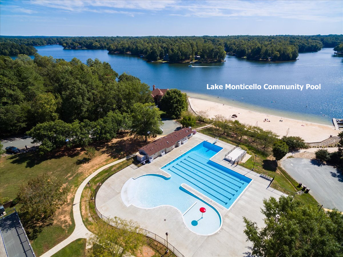
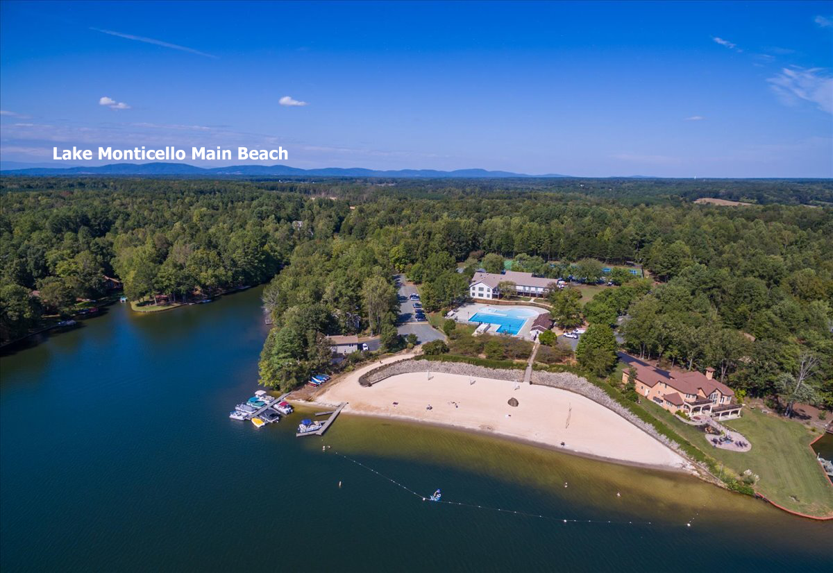
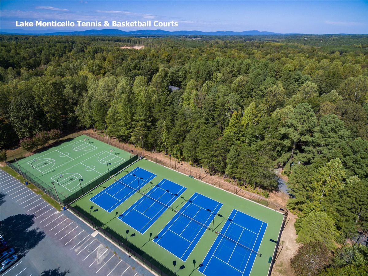
For homes in scenic locations, aerial images highlight views, wooded buffers, rolling land, water features, or nearby amenities. For in-town properties, they help buyers understand walkability, street layout, and the relationship between the home and the neighborhood.
This broader perspective answers questions buyers often have—but may not know how to ask—before they ever schedule a showing.
Elevating Perception and Market Presence
Aerial photography immediately elevates the perceived quality of a listing. When buyers see drone imagery, they associate the home with a higher level of professionalism and care. It signals that the property is being marketed thoughtfully and comprehensively.
In online searches, drone images help listings stand out. They break up the visual monotony of standard interior photos and draw the eye, increasing engagement and time spent on the listing. This added attention can translate directly into more showings and stronger buyer interest.
Highlighting Land, Privacy, and Features
For properties with acreage, aerial photography is especially valuable. It clearly illustrates land size, usable space, topography, and natural features in a way that ground-level photos cannot. Buyers gain a better understanding of how the land can be enjoyed—whether for privacy, recreation, gardening, or future possibilities.